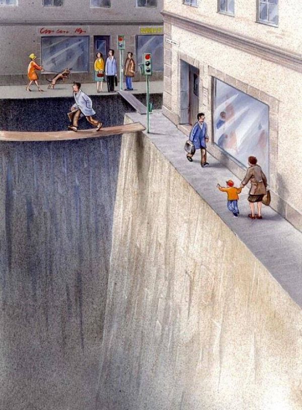
What is the purpose of the public right of way? In what ways can we transform our communities by redesigning our streets?
This post is part of a Street Design Standards series.
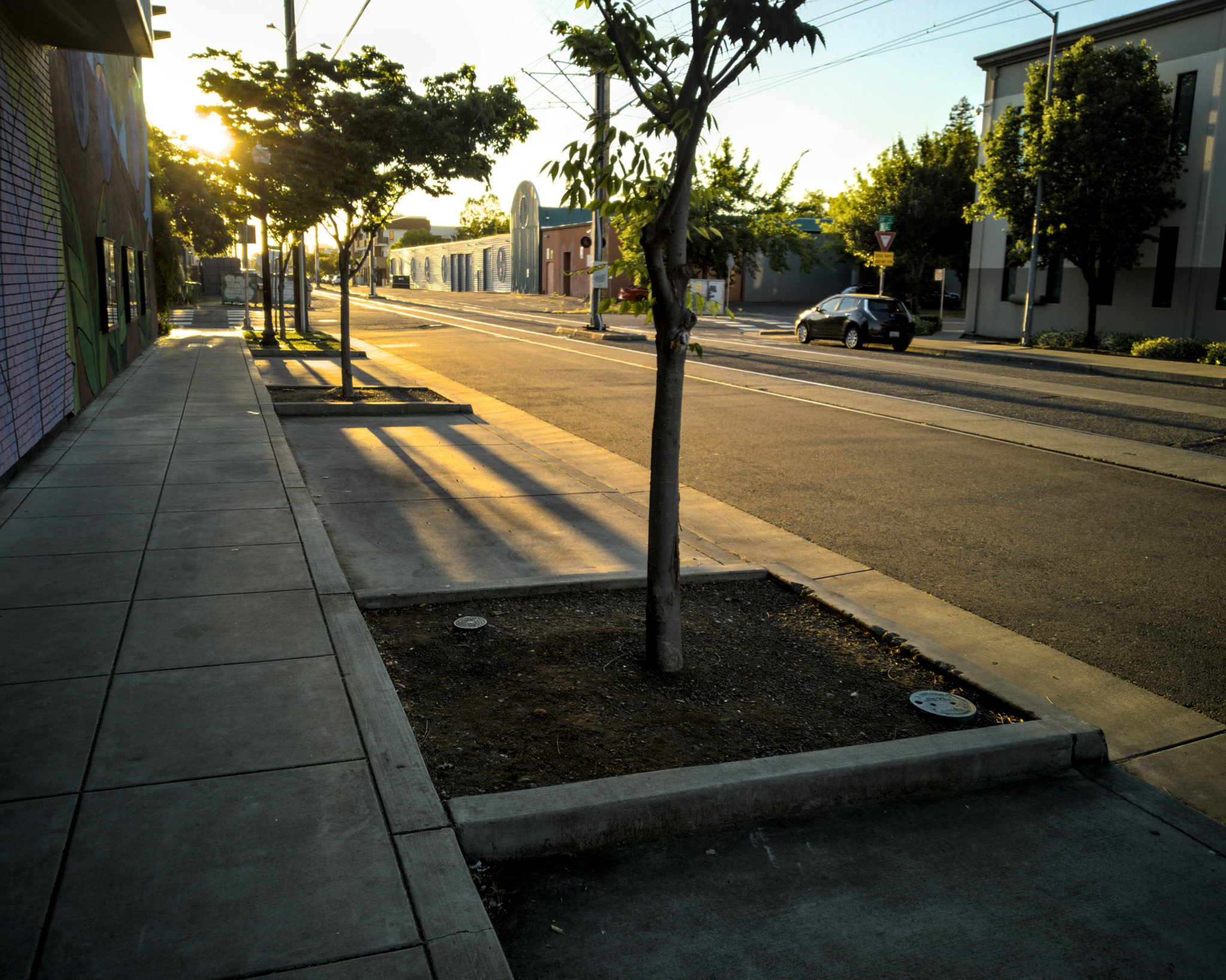
Over time, the major use of our streets and public right of way has shifted: from pedestrians and horse-drawn carriages, to streetcars and bicycles, and — over the last several decades — to ever larger private vehicles. In designing our streets for vehicle throughput, our network of roads has become a transitional space focused on getting as many cars from Point A to Point B as fast as possible. This means dedicating an ever increasing amount of space to travel and parking lanes, with only the space left over from vehicle use — if any — allocated to people: pedestrians, bicyclists, and public transit.
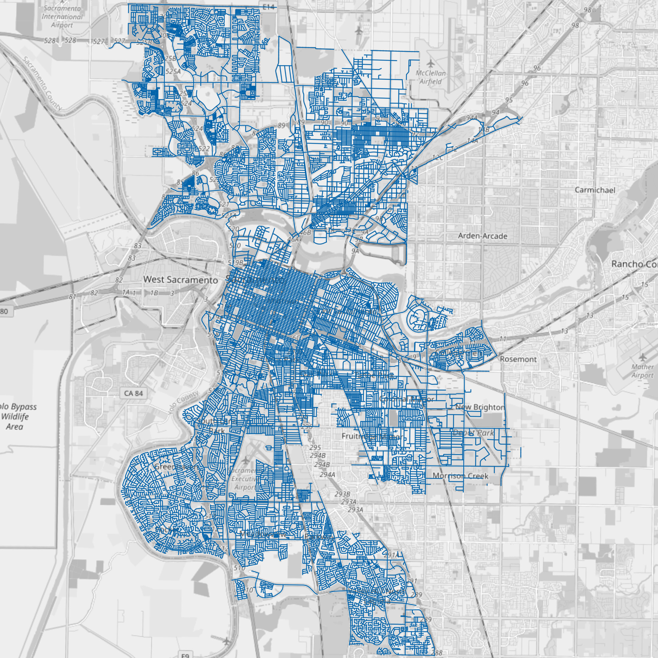
Street infrastructure covers a huge portion of our urban fabric. In the city of Sacramento, the Department of Public Works manages over 1,500 miles (3,000 lane-miles) of streets. Assuming a conservative 11-foot average lane width, the travel lanes alone account for 6.25 square miles of asphalt within the city, twice the size of Sacramento’s entire Downtown Grid. Even more of our public right of way is dedicated to temporary vehicle storage — parking lanes down both sides of nearly every block, in addition to the 28,684 off-street parking spaces the city analyzed in 2013.
So much of our public right of way is dedicated to prioritizing vehicle throughput during rush hour and to providing multiple potential parking spaces for every car in the city at any given time. Imagine how much of that space could be reallocated to improve road safety and livability, and what incredible benefits our communities would enjoy as a result.
Imagine the Potential
Safety
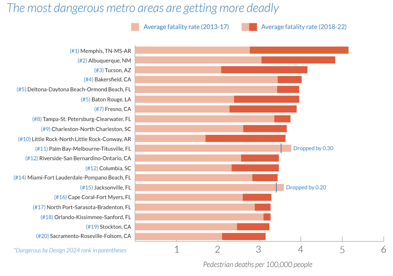
Traffic violence is rampant on the streets of Sacramento. The Smart Growth America – Dangerous by Design 2024 study found that the Sacramento-Roseville-Folsom metro area is the 20th most dangerous large metro area in the United States for pedestrian fatalities per capita, experiencing an average of 3.15 annual deaths per 100,000 residents from 2018 to 2022, a significant increase over the previous 5 years. The City of Sacramento is one of the deadliest jurisdictions in California for all road users, experiencing 10.86 traffic fatalities per year per 100,000 residents between 2017 and 2021. (California as a whole experienced 9.95 traffic deaths per 100,000 residents during the same period of time) Despite optimistic vision zero goals, traffic fatalities are still on the rise, and can only be effectively addressed by significant street design changes and overall reductions to our vehicle miles traveled (VMTs).
Bicycle, Pedestrian, and Transit Facilities
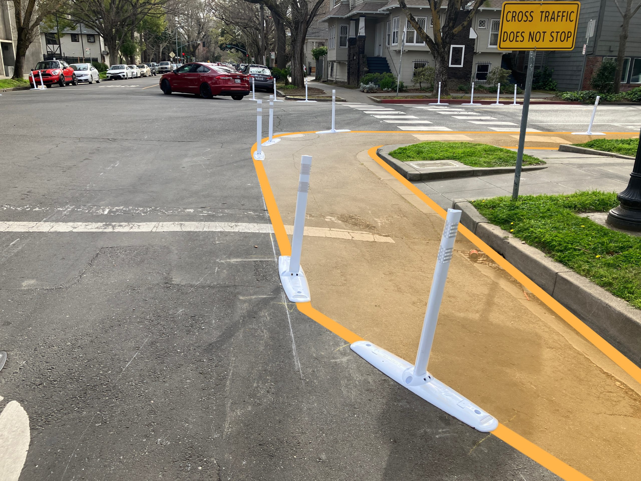
The design elements and widths of crosswalks, sidewalks, bus lanes, and bicycle facilities are all laid out in the street design standards, and can ensure that pedestrian and bicyclist safety is a priority on our road network. By providing infrastructure that allows residents to access nearby destinations in safety and comfort without relying on their personal cars, we can significantly reduce the number of vehicles on the road, thereby reducing greenhouse gas emissions and alleviating city traffic.
Trees
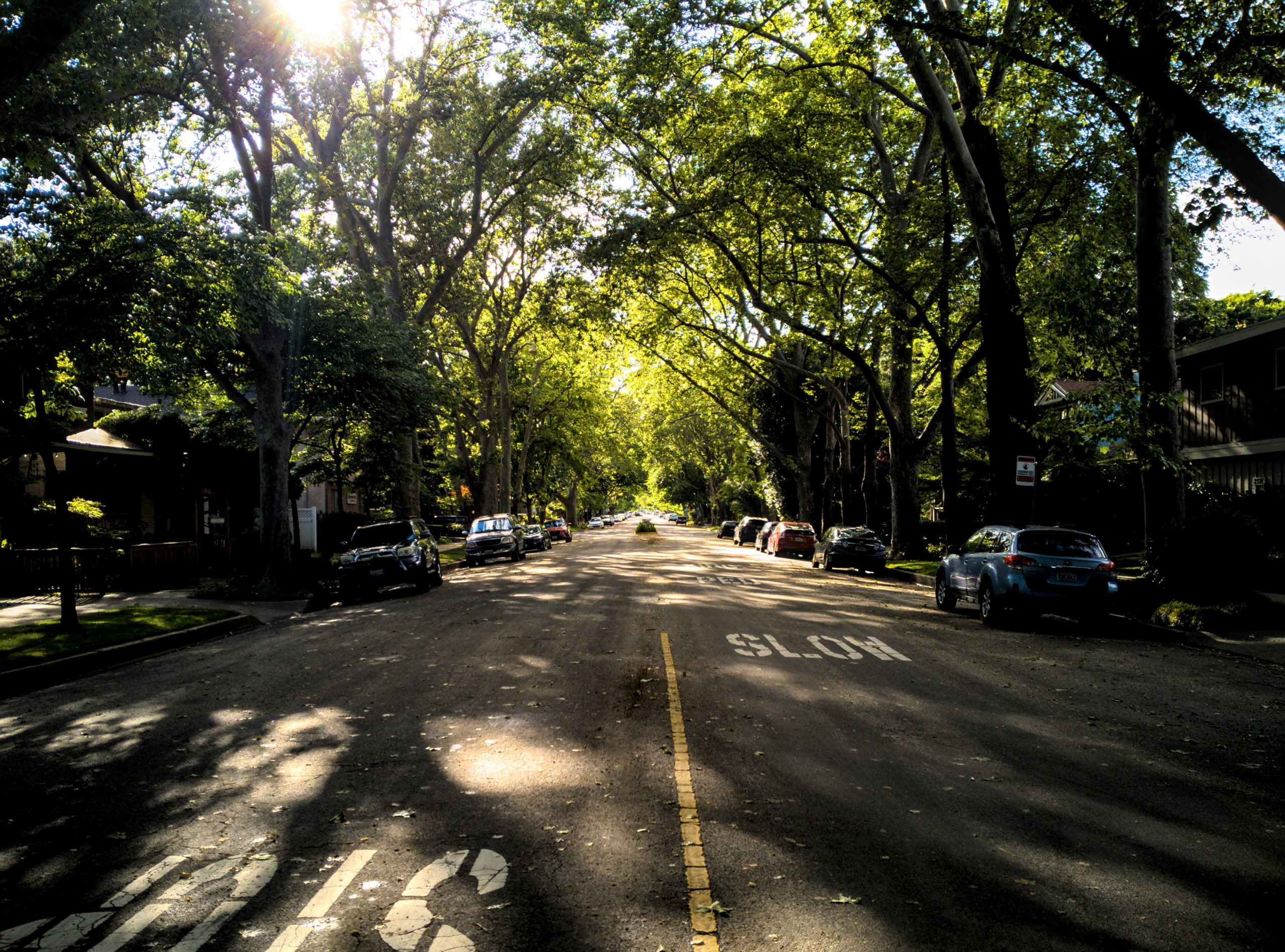
Requiring that trees be planted and maintained in the municipal right-of-way and providing examples within the street design standards is one way to help guarantee the space and sufficient upkeep necessary to maintain large and healthy trees. Tree wells could be placed within parking lanes, in roundabouts, or as part of a wide sidewalk design. An increase in street trees would provide cooler and cleaner air for local residents and road users while mitigating stormwater runoff and improving local water quality.
The City of Sacramento is currently developing an Urban Forest Plan, available for review and comment here! Updated street design standards could go a long way in supporting the goal of 35% tree canopy coverage within the city by 2045 and may be one of the only ways to achieve coverage in historically disinvested neighborhoods.
Community Impact
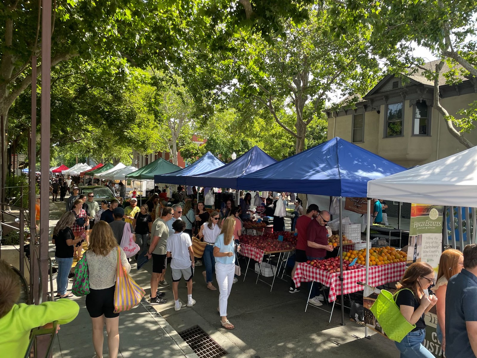
We can imagine streets that are no longer concrete and asphalt sewers of cars – either empty or choked with traffic depending on the time of day – but are instead themselves public destinations and community spaces. People-centric street design can ensure that municipal streets are lively, green, and welcoming spaces that are lined with bustling and vibrant destinations.
We can make real these visions of lively and bustling streets — safe for all users and full of vibrant life instead of sluggish traffic — by embracing the vision: streets are for people.